Knivskjellodden
Further north than the North Cape – and the only way there is on foot.
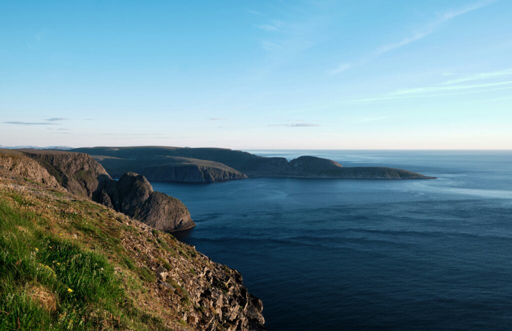
Low, quiet and reached only by trail, Knivskjellodden stretches about 1.5 km further north than the famous cliff at the North Cape. While the plateau rises 307 metres above the sea, this slim headland slopes gently into the Arctic Ocean. A marked trail of about 18 km return leads you across open tundra, past small lakes and down to a driftwood beach. At the tip, a stone cairn and a guestbook wait for those who make the journey. From here you look east across the bay to the North Cape cliff – a view few visitors ever see.
Good to know before you go
Weather changes fast. Sea fog can roll in quickly and the temperature can drop sharply. Dress in layers and bring a hat, gloves and a windproof jacket, even in summer.
Wear sturdy boots. The trail is stony and often wet. Hiking boots are recommended.
Watch your step at the tip. The rock slabs near the end can be very slippery. Walk on the grassy patches where you can.
Bring food and water. There are no facilities along the trail, so pack a generous lunch.
Help keep the coast clean. Pick up plastic and marine litter along the way and leave it at the recycling point at the parking area.
-

Tours up to North Cape -
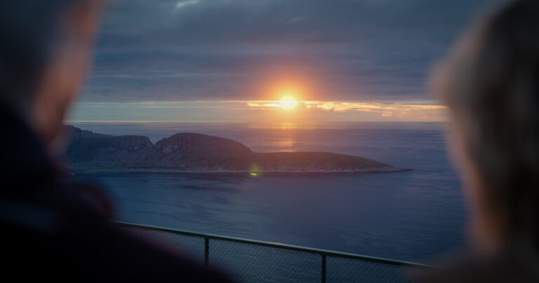
Knivskjellodden can only be reached on foot. The trail starts at a large parking area on the E69, about 6–7 km before you reach the North Cape plateau. You can get there by car, motorhome or by the bus to the North Cape.
The marked trail is about 9 km each way, roughly 18 km return. Most hikers spend 5–6 hours, with a total ascent of around 450 metres on the way back up from the sea.
The hiking season runs from about June to September, when the trail is free of snow. Be aware that fog or bad weather, may still appear during the summer months.
Unfortunately, there is no toilets located at the trailhead parking.